
Topografische kaart San Andrés Mixquic
Interactieve kaart
Klik op de kaart om de hoogte weer te geven.
Over deze kaart
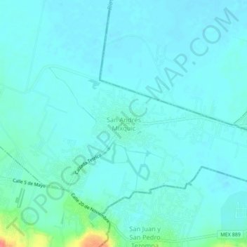
Naam: Topografische kaart San Andrés Mixquic, hoogte, reliëf.
Locatie: San Andrés Mixquic, Ciudad de México, 13630, México (19.20513 -98.98447 19.24513 -98.94447)
Gemiddelde hoogte: 2.237 m
Minimale hoogte: 2.228 m
Maximale hoogte: 2.293 m