
Topografische kaart Villahermosa
Interactieve kaart
Klik op de kaart om de hoogte weer te geven.
Over deze kaart
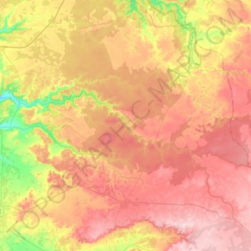
Naam: Topografische kaart Villahermosa, hoogte, reliëf.
Gemiddelde hoogte: 924 m
Minimale hoogte: 798 m
Maximale hoogte: 1.017 m
Villahermosa is located in the southeast of Mexico between the rivers Grijalva and Carrizal. The average elevation of the city is 10 meters above sea level. The city also has several lagoons, the largest and most important of them being La Laguna de las Ilusiones (Illusions Lagoon).