
Topografische kaart Russell Cave National Monument
Interactieve kaart
Klik op de kaart om de hoogte weer te geven.
Over deze kaart
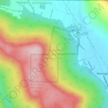
Naam: Topografische kaart Russell Cave National Monument, hoogte, reliëf.
Gemiddelde hoogte: 319 m
Minimale hoogte: 187 m
Maximale hoogte: 506 m