
Topografische kaart Chelsea
Interactieve kaart
Klik op de kaart om de hoogte weer te geven.
Chelsea
The topography of Chelsea consists primarily of coastal lowlands, punctuated by four drumlins formed during the last Ice Age. These drumlins are located in the southwest (Admirals Hill), southeast (Mount Bellingham), northeast (Powderhorn Hill) and northwest (Mount Washington). A smaller drumlin (Mill Hill) is located on the east side of Chelsea, adjacent to Mill Creek. This sloped and hilly landscape helps to divide the city into discernible neighborhoods, each with its own character, thereby giving the city a manageable sense of scale and orientation.
Over deze kaart
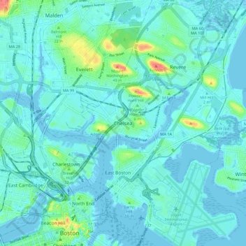
Naam: Topografische kaart Chelsea, hoogte, reliëf.
Locatie: Chelsea, Suffolk County, Massachusetts, 02150, United States (42.35122 -71.07693 42.43122 -70.99693)
Gemiddelde hoogte: 8 m
Minimale hoogte: -5 m
Maximale hoogte: 56 m