
Topografische kaart Wallis and Futuna
Interactieve kaart
Klik op de kaart om de hoogte weer te geven.
Over deze kaart
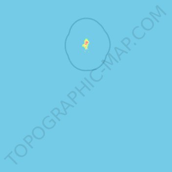
Naam: Topografische kaart Wallis and Futuna, hoogte, reliëf.
Locatie: Wallis and Futuna, France (-14.36218 -178.18175 -13.18324 -176.12479)
Gemiddelde hoogte: 0 m
Minimale hoogte: 0 m
Maximale hoogte: 134 m