
Topografische kaart Benbecula
Interactieve kaart
Klik op de kaart om de hoogte weer te geven.
Over deze kaart
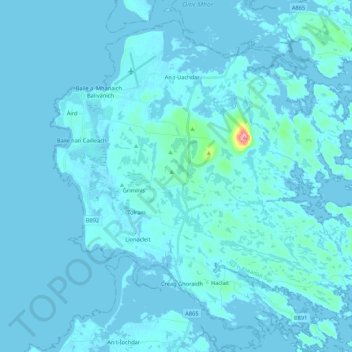
Naam: Topografische kaart Benbecula, hoogte, reliëf.
Locatie: Benbecula, Creagorry, Western Isles, Scotland, United Kingdom (57.39877 -7.41199 57.49401 -7.19778)
Gemiddelde hoogte: 5 m
Minimale hoogte: -4 m
Maximale hoogte: 121 m
There is a dense cluster of lochs across almost the entire island, and almost all of the island is below 20 metres (70 feet) in elevation.