
Topografische kaart Magal
Interactieve kaart
Klik op de kaart om de hoogte weer te geven.
Magal
Kibbutz Magal was founded in 1953 as a Nahal settlement on a hill overlooking the Samaria hills and what was then the border with Jordan. The kibbutz sits on a hill known from the War of Independence as the "86th Regiment"—on any elevation of the hill above the sea level (86 meters). The kibbutz was founded by the Tzofim battalion, but when they left, Nahal members began to settle there, which continued to reach it until the 1980s.
Over deze kaart
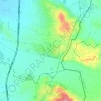
Naam: Topografische kaart Magal, hoogte, reliëf.
Gemiddelde hoogte: 65 m
Minimale hoogte: 31 m
Maximale hoogte: 150 m