
Topografische kaart Good view of the citadel
Interactieve kaart
Klik op de kaart om de hoogte weer te geven.
Over deze kaart
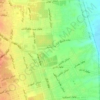
Naam: Topografische kaart Good view of the citadel, hoogte, reliëf.
Gemiddelde hoogte: 1.041 m
Minimale hoogte: 1.019 m
Maximale hoogte: 1.059 m
Andere topografische kaarten
Klik op een kaart om zijn topografie, zijn hoogte en zijn reliëf te bekijken.
پاسداران
Iran > Kerman Province > Bam County > Bam
پاسداران, Bam, Bakhsh-e Markazi of Bam County, Bam County, Kerman Province, Iran
Gemiddelde hoogte: 1.058 m