
Topografische kaart Francis Marion National Forest
Interactieve kaart
Klik op de kaart om de hoogte weer te geven.
Over deze kaart
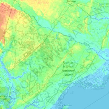
Naam: Topografische kaart Francis Marion National Forest, hoogte, reliëf.
Gemiddelde hoogte: 6 m
Minimale hoogte: -3 m
Maximale hoogte: 29 m