
Topografische kaart Battle of Blackburn's Ford (1861)
Interactieve kaart
Klik op de kaart om de hoogte weer te geven.
Over deze kaart
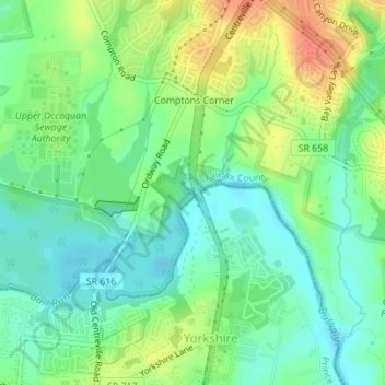
Naam: Topografische kaart Battle of Blackburn's Ford (1861), hoogte, reliëf.
Gemiddelde hoogte: 60 m
Minimale hoogte: 41 m
Maximale hoogte: 91 m