
Topografische kaart Prince George
Interactieve kaart
Klik op de kaart om de hoogte weer te geven.
Over deze kaart
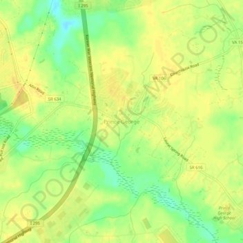
Naam: Topografische kaart Prince George, hoogte, reliëf.
Gemiddelde hoogte: 39 m
Minimale hoogte: 21 m
Maximale hoogte: 48 m
Prince George is a census-designated place (CDP) in and the county seat of Prince George County, Virginia, United States. The population as of the 2010 Census was 2,066. It is in the metro area of Richmond, Virginia. The elevation is at 131 feet.