
Topografische kaart Buffalo Gap
Interactieve kaart
Klik op de kaart om de hoogte weer te geven.
Over deze kaart
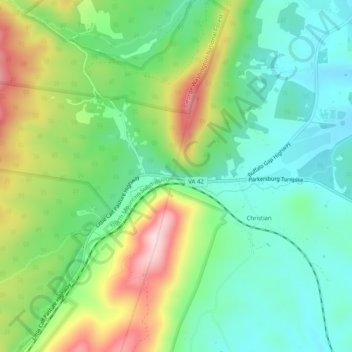
Naam: Topografische kaart Buffalo Gap, hoogte, reliëf.
Locatie: Buffalo Gap, Augusta County, Virginia, 24479, United States (38.16707 -79.25948 38.20707 -79.21948)
Gemiddelde hoogte: 596 m
Minimale hoogte: 489 m
Maximale hoogte: 802 m