
Topografische kaart Haripura
Interactieve kaart
Klik op de kaart om de hoogte weer te geven.
Over deze kaart
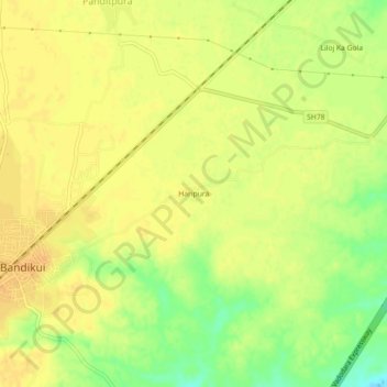
Naam: Topografische kaart Haripura, hoogte, reliëf.
Gemiddelde hoogte: 277 m
Minimale hoogte: 257 m
Maximale hoogte: 285 m
Andere topografische kaarten
Klik op een kaart om zijn topografie, zijn hoogte en zijn reliëf te bekijken.
Bandikui
India > Rajasthan > Baswa Tehsil > Bandikui
Bandikui, Baswa Tehsil, Dausa, Rajasthan, 303313, India
Gemiddelde hoogte: 278 m