
Topografische kaart Brookings
Interactieve kaart
Klik op de kaart om de hoogte weer te geven.
Over deze kaart
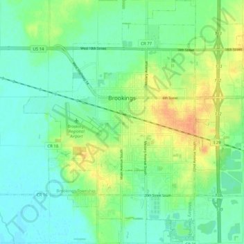
Naam: Topografische kaart Brookings, hoogte, reliëf.
Gemiddelde hoogte: 495 m
Minimale hoogte: 482 m
Maximale hoogte: 517 m
Andere topografische kaarten
Klik op een kaart om zijn topografie, zijn hoogte en zijn reliëf te bekijken.
Aurora Township
United States > South Dakota > Brookings County
Aurora Township, Brookings County, South Dakota, 57002, United States
Gemiddelde hoogte: 503 m
Brooking Municipal Utilitys
United States > South Dakota > Brookings County > Brookings
Brooking Municipal Utilitys, Brookings, Brookings Township, Brookings County, South Dakota, United States
Gemiddelde hoogte: 492 m
Bruce
United States > South Dakota > Brookings County > Bruce
Bruce, Brookings County, South Dakota, United States
Gemiddelde hoogte: 502 m