
Topografische kaart Filband
Interactieve kaart
Klik op de kaart om de hoogte weer te geven.
Filband
This village is located at an altitude of about 2,300 metres above sea level. Filband on the eastern side of Mazandaran is known as the roof of the province.
Over deze kaart
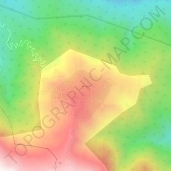
Naam: Topografische kaart Filband, hoogte, reliëf.
Gemiddelde hoogte: 1.923 m
Minimale hoogte: 1.333 m
Maximale hoogte: 2.597 m