
Topografische kaart Lake Of The Ozarks
Interactieve kaart
Klik op de kaart om de hoogte weer te geven.
Over deze kaart
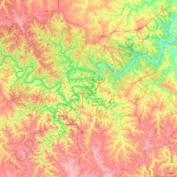
Naam: Topografische kaart Lake Of The Ozarks, hoogte, reliëf.
Gemiddelde hoogte: 265 m
Minimale hoogte: 163 m
Maximale hoogte: 381 m
The lake was created by the construction of the 2,543-foot (775 m) long Bagnell Dam by the Union Electric Company of St. Louis, Missouri. The principal engineering firm was Stone and Webster. Construction began August 8, 1929, and was completed in April 1931; the lake reached spillway elevation on May 20, 1931.