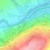
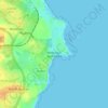
Topografische kaart Berwick-upon-Tweed
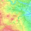
Klik op de kaart om de hoogte weer te geven.
Berwick-upon-Tweed
In the 1840s, Samuel Lewis included similar entries for Berwick-upon-Tweed in both his England and Scotland Topographical Dictionary. Berwick remained a county in its own right, and remained a separate parliamentary constituency until 1885 when it was merged to become a division of Northumberland under the Redistribution of Seats Act 1885. In 1889 elected county councils were established under the Local Government Act 1888, which were based on the parliamentary boundaries of counties, and so Berwick was brought under the jurisdiction of Northumberland County Council, with the town council thereafter being a lower-tier authority subordinate to the county council.
Over deze kaart
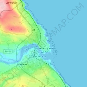
Naam: Topografische kaart Berwick-upon-Tweed, hoogte, reliëf.
Gemiddelde hoogte: 33 m
Minimale hoogte: -1 m
Maximale hoogte: 197 m
Andere topografische kaarten
Klik op een kaart om zijn topografie, zijn hoogte en zijn reliëf te bekijken.


Amble
United Kingdom > England > Northumberland
Samuel Lewis reported a township population of 247 in 1831. By the seventh edition of his Topographical Dictionary of England, which was published in 1848, this figure had risen to 724. The population was reported as being 1,040 in 1851. The 1871 census recorded a population of 1,233, spread among 233 houses.
Gemiddelde hoogte: 15 m






Sharp Law
United Kingdom > England > Northumberland > Crookham > Crookham Eastfield
Gemiddelde hoogte: 56 m
Berwick
United Kingdom > England > Northumberland > Berwick-upon-Tweed > Spittal
Gemiddelde hoogte: 8 m





North Hazelrigg
United Kingdom > England > Northumberland > Chatton > North Hazelrigg
Gemiddelde hoogte: 99 m



Twizel Smithy
United Kingdom > England > Northumberland > Duddo > Twizel Smithy
Gemiddelde hoogte: 40 m