
Topografische kaart Dutch Island
Interactieve kaart
Klik op de kaart om de hoogte weer te geven.
Over deze kaart
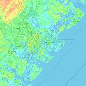
Naam: Topografische kaart Dutch Island, hoogte, reliëf.
Locatie: Dutch Island, Chatham County, Georgia, 31410, United States (31.68605 -81.35122 32.32605 -80.71122)
Gemiddelde hoogte: 4 m
Minimale hoogte: -5 m
Maximale hoogte: 35 m