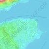
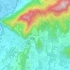
Topografische kaart Monte Isola
Klik op de kaart om de hoogte weer te geven.
Monte Isola
The municipality covers a total area of 12.8 square kilometres (4.9 sq mi); the main island, Monte Isola, with an area of 4.5 square kilometres (1.7 sq mi) ranks as the largest lake island not only in Italy, but also in South and Central Europe, but is dwarfed by the large lake islands in Northern Europe. The peak of the island at 600 metres (1,969 feet) above sea level is 415 metres (1,362 feet) above the average surface elevation of Lake Iseo (185 m (607 ft)), making Monte Isola one of the highest lake islands in Europe.
Over deze kaart
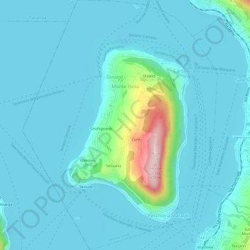
Naam: Topografische kaart Monte Isola, hoogte, reliëf.
Gemiddelde hoogte: 220 m
Minimale hoogte: 175 m
Maximale hoogte: 557 m
Andere topografische kaarten
Klik op een kaart om zijn topografie, zijn hoogte en zijn reliëf te bekijken.