
Topografische kaart Grand Coulee Dam
Interactieve kaart
Klik op de kaart om de hoogte weer te geven.
Grand Coulee Dam
After power shortages in the Northwest during the 1960s, it was determined the six remaining planned pumps be pump-generators. When energy demand is high, the pump-generators can generate electricity with water from the Banks Lake feeder canal adjacent to the dam at a higher elevation. By 1973, the Pump-Generating Plant was completed and the first two generators (P/G-7 and P/G-8) were operational. In 1983, two more generators went online, and by January 1984 the final two were operational. The six pump-generators added 314 MW to the dam's capacity. In May 2009, the Pump-Generating Plant was officially renamed the John W. Keys III Pump-Generating Power Plant after John W. Keys III, the U.S. Bureau of Reclamation's commissioner from 2001 to 2006.
Over deze kaart
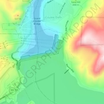
Naam: Topografische kaart Grand Coulee Dam, hoogte, reliëf.
Gemiddelde hoogte: 423 m
Minimale hoogte: 291 m
Maximale hoogte: 676 m