
Topografische kaart Rustenburg Ward 9
Interactieve kaart
Klik op de kaart om de hoogte weer te geven.
Over deze kaart
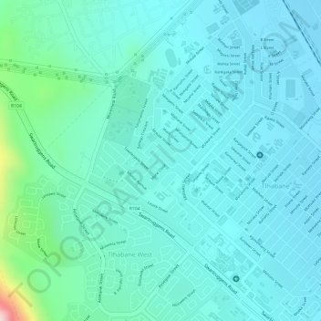
Naam: Topografische kaart Rustenburg Ward 9, hoogte, reliëf.
Gemiddelde hoogte: 1.207 m
Minimale hoogte: 1.158 m
Maximale hoogte: 1.442 m
Andere topografische kaarten
Klik op een kaart om zijn topografie, zijn hoogte en zijn reliëf te bekijken.
Kgaswane Mountain Nature Reserve
RSA > North West > Rustenburg Local Municipality
Kgaswane Mountain Nature Reserve, Pegierae Hiking Trail, Rustenburg Ward 16, Rustenburg Local Municipality, Bojanala Platinum District Municipality, North West, RSA
Gemiddelde hoogte: 1.306 m
Olifantsnek Dam
RSA > North West > Rustenburg Local Municipality
Olifantsnek Dam, Rustenburg Local Municipality, Bojanala Platinum District Municipality, North West, RSA
Gemiddelde hoogte: 1.246 m