
Topografische kaart Sheldon Springs
Interactieve kaart
Klik op de kaart om de hoogte weer te geven.
Over deze kaart
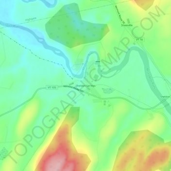
Naam: Topografische kaart Sheldon Springs, hoogte, reliëf.
Gemiddelde hoogte: 118 m
Minimale hoogte: 58 m
Maximale hoogte: 236 m
Sheldon Springs is an unincorporated community village in the town of Sheldon in Franklin County, Vermont, United States. It lies at an altitude of 299 feet (91 m). A post office was established in 1871.