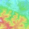
Topografische kaart Grabsleben
Klik op de kaart om de hoogte weer te geven.
Over deze kaart
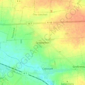
Naam: Topografische kaart Grabsleben, hoogte, reliëf.
Gemiddelde hoogte: 291 m
Minimale hoogte: 272 m
Maximale hoogte: 310 m
Andere topografische kaarten
Klik op een kaart om zijn topografie, zijn hoogte en zijn reliëf te bekijken.
Gotha
Germany > Thuringia > Landkreis Gotha
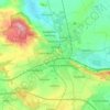
Gotha is situated in a flat landscape within the fertile Thuringian Basin. A tectonic dislocation traverses the city from north-west to south-east. Thereby, it forms three prominent hills: the 431 m high Krahnberg with the Ratsholz forest in the north-west, the hill of Friedenstein Castle in the city centre…
Gemiddelde hoogte: 320 m
Gotha
Germany > Thuringia > Landkreis Gotha
Gotha is situated in a flat landscape within the fertile Thuringian Basin. A tectonic dislocation traverses the city from north-west to south-east. Thereby, it forms three prominent hills: the 431 m high Krahnberg with the Ratsholz forest in the north-west, the hill of Friedenstein Castle in the city centre…
Gemiddelde hoogte: 320 m