
Topografische kaart Calais
Interactieve kaart
Klik op de kaart om de hoogte weer te geven.
Over deze kaart
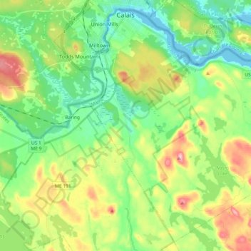
Naam: Topografische kaart Calais, hoogte, reliëf.
Locatie: Calais, Washington County, Maine, 04619, United States (45.07199 -67.30553 45.19186 -67.12262)
Gemiddelde hoogte: 53 m
Minimale hoogte: -2 m
Maximale hoogte: 152 m