
Topografische kaart Laymantown
Interactieve kaart
Klik op de kaart om de hoogte weer te geven.
Over deze kaart
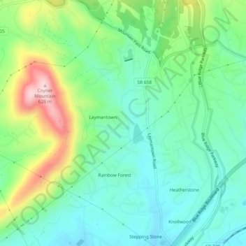
Naam: Topografische kaart Laymantown, hoogte, reliëf.
Locatie: Laymantown, Botetourt County, Virginia, United States (37.34649 -79.87203 37.38309 -79.83555)
Gemiddelde hoogte: 412 m
Minimale hoogte: 323 m
Maximale hoogte: 618 m