
Topografische kaart Tai Lam Chung Catchwater Section M
Interactieve kaart
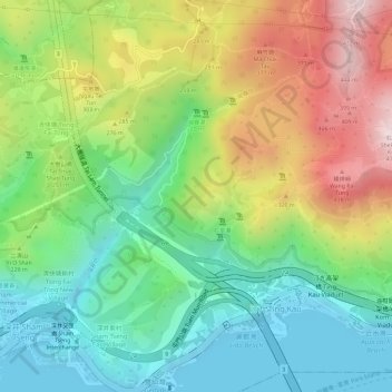
Klik op de kaart om de hoogte weer te geven.
Over deze kaart
Naam: Topografische kaart Tai Lam Chung Catchwater Section M, hoogte, reliëf.
Gemiddelde hoogte: 181 m
Minimale hoogte: -2 m
Maximale hoogte: 443 m