
Topografische kaart the bog
Interactieve kaart
Klik op de kaart om de hoogte weer te geven.
Over deze kaart
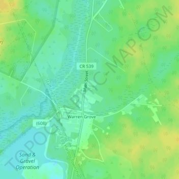
Naam: Topografische kaart the bog, hoogte, reliëf.
Locatie: the bog, Stafford Township, Ocean County, New Jersey, USA (39.75050 -74.36888 39.75060 -74.36878)
Gemiddelde hoogte: 34 m
Minimale hoogte: 24 m
Maximale hoogte: 45 m