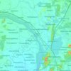
Topografische kaart Vandalur
Klik op de kaart om de hoogte weer te geven.
Vandalur
Vandalur hill is part of Arignar Anna Zoological Park and public entry to the hill is restricted. The hilltop provides a good view of the OMR and Mannivakam. The Tamil Nadu Forest department has a sapling center under the foothill of Vandalur hill. The run has a total ascent of 274.99 ft and has a maximum elevation of 484.97 ft.
Over deze kaart
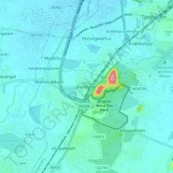
Naam: Topografische kaart Vandalur, hoogte, reliëf.
Locatie: Vandalur, Chengalpattu, Tamil Nadu, 603210, India (12.85215 80.04296 12.93215 80.12296)
Gemiddelde hoogte: 27 m
Minimale hoogte: 13 m
Maximale hoogte: 160 m
Andere topografische kaarten
Klik op een kaart om zijn topografie, zijn hoogte en zijn reliëf te bekijken.