
Topografische kaart Rupert
Interactieve kaart
Klik op de kaart om de hoogte weer te geven.
Rupert
Rupert is located at an elevation of 4,157 feet (1,267 m) above sea level. It is part of the agricultural region of the Snake River Plain known as Magic Valley, and is a few miles north of the Snake River. Interstate 84 passes a few miles to the south, and before its construction, U.S. Route 30 passed through Rupert. Acequia lies about 5 miles (8 km) northeast of Rupert and Paul is about the same distance to the west.
Over deze kaart
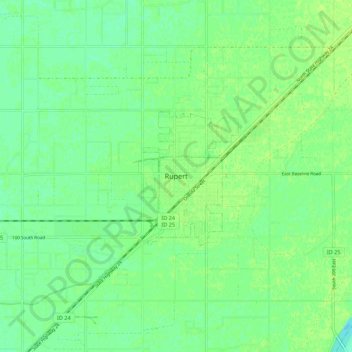
Naam: Topografische kaart Rupert, hoogte, reliëf.
Locatie: Rupert, Minidoka County, Idaho, 83350, United States (42.57908 -113.71723 42.65908 -113.63723)
Gemiddelde hoogte: 1.267 m
Minimale hoogte: 1.260 m
Maximale hoogte: 1.271 m