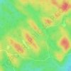
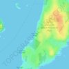
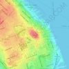
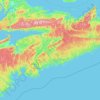
Topografische kaart Halifax
Klik op de kaart om de hoogte weer te geven.
Halifax
The coastline is heavily indented, accounting for its length of approximately 400 km (250 mi), with the northern boundary of the municipality usually being between 50–60 km (31–37 mi) inland. The coast is mostly rock with small isolated sand beaches in sheltered bays. The largest coastal features include St. Margarets Bay, Halifax Harbour/Bedford Basin, Cole Harbour, Musquodoboit Harbour, Jeddore Harbour, Ship Harbour, Sheet Harbour, and Ecum Secum Harbour. The municipality's topography spans from lush farmland in the Musquodoboit Valley to rocky and heavily forested rolling hills. It includes a number of islands and peninsulas, among them McNabs Island, Beaver Island, Melville Island, Deadman's Island and Sable Island.
Over deze kaart
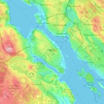
Naam: Topografische kaart Halifax, hoogte, reliëf.
Gemiddelde hoogte: 46 m
Minimale hoogte: -1 m
Maximale hoogte: 150 m
Andere topografische kaarten
Klik op een kaart om zijn topografie, zijn hoogte en zijn reliëf te bekijken.


Eastern Shore District High School Park
Canada > Nova Scotia > Halifax County > Musquodoboit Harbour
Gemiddelde hoogte: 24 m

Musquodoboit River
Canada > Nova Scotia > Halifax County > Middle Musquodoboit
Gemiddelde hoogte: 50 m
Ponhook Cove
Canada > Nova Scotia > Halifax County > Head of St. Margarets Bay
Gemiddelde hoogte: 130 m