
Topografische kaart Ashland
Interactieve kaart
Klik op de kaart om de hoogte weer te geven.
Over deze kaart
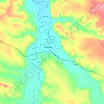
Naam: Topografische kaart Ashland, hoogte, reliëf.
Gemiddelde hoogte: 940 m
Minimale hoogte: 879 m
Maximale hoogte: 1.039 m
The area offers a variety of topography, varying from rolling grasslands to steep rock outcrops. Vegetation varies from prairie to dense stands of ponderosa pine.