
Topografische kaart Illinois Medical District
Interactieve kaart
Klik op de kaart om de hoogte weer te geven.
Over deze kaart
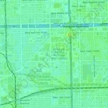
Naam: Topografische kaart Illinois Medical District, hoogte, reliëf.
Locatie: Illinois Medical District, Cook County, Illinois, USA (41.86140 -87.68385 41.87578 -87.66641)
Gemiddelde hoogte: 182 m
Minimale hoogte: 177 m
Maximale hoogte: 187 m