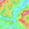
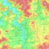
Topografische kaart Milseburg
Klik op de kaart om de hoogte weer te geven.
Milseburg
The Milseburg is an extinct volcano and at 835 metres (2,740 ft) above sea level the second highest elevation in the Hessian part of the Rhön Mountains, Germany. The hill is located east of Fulda, near the villages of Kleinsassen and Danzwiesen. It is a popular destination for hikers and bikers. Scientifically, Milseburg is most notable for the remains of a large Celtic oppidum. It also features several other structures on the peak, including a chapel dedicated to St Gangulphus.
Over deze kaart
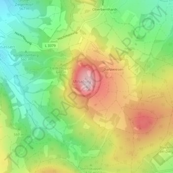
Naam: Topografische kaart Milseburg, hoogte, reliëf.
Locatie: Milseburg, Hofbieber, Landkreis Fulda, Hesse, Germany (50.54467 9.89805 50.54477 9.89815)
Gemiddelde hoogte: 619 m
Minimale hoogte: 472 m
Maximale hoogte: 807 m
Andere topografische kaarten
Klik op een kaart om zijn topografie, zijn hoogte en zijn reliëf te bekijken.

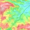
Flieden
Germany > Hesse > Landkreis Fulda
Flieden is located in a valley north west of the Landrücken between the Vogelsberg and the Rhön. It is an area of low hills with the highest elevations being Knöschen near Buchenrod (509 m) and the Storker Küppel near Oberstork (470 m). At the very center of Flieden the creeks Magdloser Wasser und Kautzer…
Gemiddelde hoogte: 376 m