
Topografische kaart Taishanlu
Interactieve kaart
Klik op de kaart om de hoogte weer te geven.
Over deze kaart
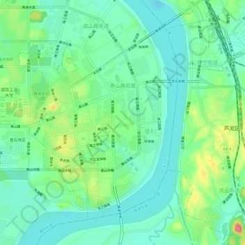
Naam: Topografische kaart Taishanlu, hoogte, reliëf.
Locatie: Taishanlu, Tianyuan District, Zhuzhou, Hunan, 412007, China (27.79714 113.08577 27.83726 113.14315)
Gemiddelde hoogte: 51 m
Minimale hoogte: 20 m
Maximale hoogte: 128 m