
Topografische kaart Waltham
Klik op de kaart om de hoogte weer te geven.
Waltham
Its territory, with a maximum elevation of just over 350 metres (1,150 ft), is sparsely populated, the majority of the population living along or near the Ottawa River. The northern portion is a vast extended tract of undeveloped land, dotted with lakes, such as Findlay, Landon, Gagnon, and Caughlin, which are popular for fishing.
Over deze kaart
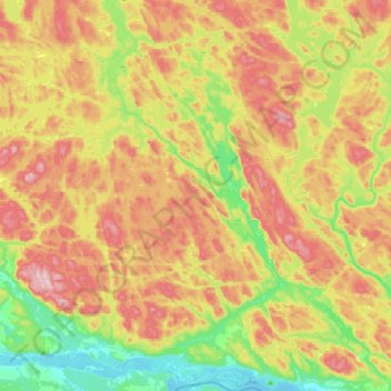
Naam: Topografische kaart Waltham, hoogte, reliëf.
Locatie: Waltham, Pontiac, Outaouais, Quebec, J0X 3H0, Canada (45.89225 -77.04870 46.16432 -76.79797)
Gemiddelde hoogte: 245 m
Minimale hoogte: 104 m
Maximale hoogte: 409 m
Andere topografische kaarten
Klik op een kaart om zijn topografie, zijn hoogte en zijn reliëf te bekijken.