
Topografische kaart Nicksville
Interactieve kaart
Klik op de kaart om de hoogte weer te geven.
Over deze kaart
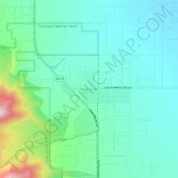
Naam: Topografische kaart Nicksville, hoogte, reliëf.
Gemiddelde hoogte: 1.483 m
Minimale hoogte: 1.387 m
Maximale hoogte: 1.824 m
Nicksville is a populated place in Cochise County, Arizona, just north of the international border between the United States and Mexico. It has an estimated elevation of 4,816 feet (1,468 m) above sea level.