
Topografische kaart Gučevo
Interactieve kaart
Klik op de kaart om de hoogte weer te geven.
Gučevo
Gučevo (Serbian Cyrillic: Гучево, pronounced [ɡûːtʃeʋo]) is a mountain in western Serbia, near the town of Loznica, overlooking the Drina river and Banja Koviljača. Its highest peak Crni vrh has an elevation of 779 meters above sea level.
Over deze kaart
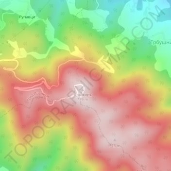
Naam: Topografische kaart Gučevo, hoogte, reliëf.
Gemiddelde hoogte: 526 m
Minimale hoogte: 214 m
Maximale hoogte: 772 m