

Topografische kaart Bharuch
Klik op de kaart om de hoogte weer te geven.
Bharuch
Bharuch is located at 21°42′N 72°58′E / 21.7°N 72.97°E / 21.7; 72.97. It has an average elevation of 15 metres (49 feet). Bharuch is a port city situated on the banks of the Narmada river. The damming of the Narmada caused the original port facilities to close, the nearest port is now in Dahej. The Bharuch district is surrounded by Vadodara (North), Narmada (East) and Surat (South) districts. To the west is the Gulf of Khambhat.
Over deze kaart
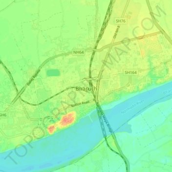
Naam: Topografische kaart Bharuch, hoogte, reliëf.
Locatie: Bharuch, Bharuch Taluka, Bharuch, Gujarat, India (21.68519 72.96262 21.73299 73.03773)
Gemiddelde hoogte: 15 m
Minimale hoogte: 0 m
Maximale hoogte: 38 m