
Topografische kaart Bacon Ridge
Interactieve kaart
Klik op de kaart om de hoogte weer te geven.
Over deze kaart
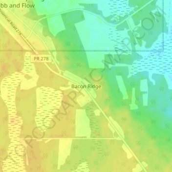
Naam: Topografische kaart Bacon Ridge, hoogte, reliëf.
Locatie: Bacon Ridge, Rural Municipality of Alonsa, Manitoba, Canada (50.98534 -99.02829 51.02534 -98.98829)
Gemiddelde hoogte: 260 m
Minimale hoogte: 247 m
Maximale hoogte: 270 m