
Topografische kaart Mid-City
Interactieve kaart
Klik op de kaart om de hoogte weer te geven.
Over deze kaart
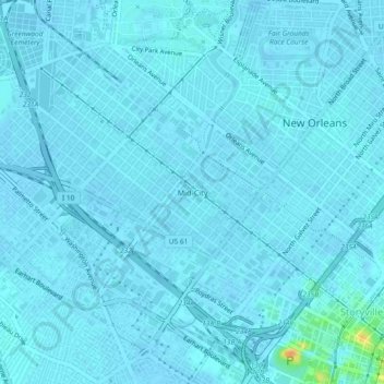
Naam: Topografische kaart Mid-City, hoogte, reliëf.
Gemiddelde hoogte: 2 m
Minimale hoogte: -1 m
Maximale hoogte: 32 m
Mid-City is located at 29°58′19″N 90°05′49″W / 29.97194°N 90.09694°W / 29.97194; -90.09694 and has an elevation of 0 feet (0.0 m). According to the United States Census Bureau, the district has a total area of 1.66 square miles (4.3 km2), all land.