
Topografische kaart Whapmagoostui (Category I Land)
Interactieve kaart
Klik op de kaart om de hoogte weer te geven.
Over deze kaart
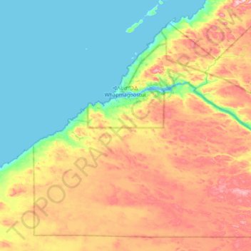
Naam: Topografische kaart Whapmagoostui (Category I Land), hoogte, reliëf.
Gemiddelde hoogte: 91 m
Minimale hoogte: -1 m
Maximale hoogte: 258 m