
Topografische kaart Lathrop
Interactieve kaart
Klik op de kaart om de hoogte weer te geven.
Lathrop
Lathrop is located at 37°49′1″N 121°17′19″W / 37.81694°N 121.28861°W / 37.81694; -121.28861 (37.816904, -121.288633). The San Joaquin River is on the west side of Lathrop and has elevation of 20 feet (7 m).
Over deze kaart
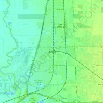
Naam: Topografische kaart Lathrop, hoogte, reliëf.
Gemiddelde hoogte: 7 m
Minimale hoogte: -7 m
Maximale hoogte: 14 m