
Topografische kaart Oviston
Interactieve kaart
Klik op de kaart om de hoogte weer te geven.
Over deze kaart
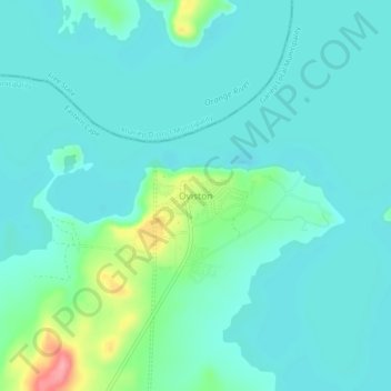
Naam: Topografische kaart Oviston, hoogte, reliëf.
Locatie: Oviston, Joe Gqabi District Municipality, Eastern Cape, RSA (-30.71417 25.74750 -30.67417 25.78750)
Gemiddelde hoogte: 1.266 m
Minimale hoogte: 1.246 m
Maximale hoogte: 1.353 m