
Topografische kaart Sant'Agata Feltria
Interactieve kaart
Klik op de kaart om de hoogte weer te geven.
Over deze kaart
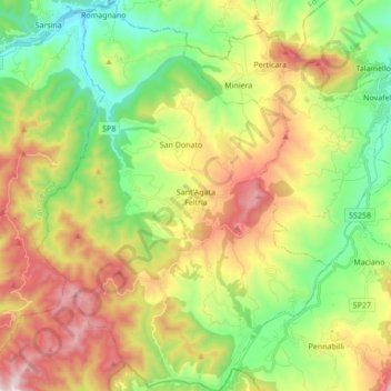
Naam: Topografische kaart Sant'Agata Feltria, hoogte, reliëf.
Gemiddelde hoogte: 518 m
Minimale hoogte: 160 m
Maximale hoogte: 1.043 m