
Topografische kaart Devín Castle
Interactieve kaart
Klik op de kaart om de hoogte weer te geven.
Devín Castle
The cliff (elevation 212 meters) is an ideal place for a fort due to its position at the confluence of the Danube and Morava rivers. The fort watches over an important trade route along the Danube as well as one branch of the Amber Road.
Over deze kaart
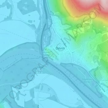
Naam: Topografische kaart Devín Castle, hoogte, reliëf.
Gemiddelde hoogte: 175 m
Minimale hoogte: 137 m
Maximale hoogte: 453 m