Topografische kaart En Plancudrey
Interactieve kaart
Klik op de kaart om de hoogte weer te geven.
Over deze kaart
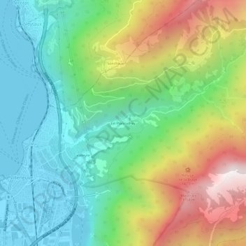
Naam: Topografische kaart En Plancudrey, hoogte, reliëf.
Gemiddelde hoogte: 902 m
Minimale hoogte: 368 m
Maximale hoogte: 1.914 m

Klik op de kaart om de hoogte weer te geven.
Naam: Topografische kaart En Plancudrey, hoogte, reliëf.
Gemiddelde hoogte: 902 m
Minimale hoogte: 368 m
Maximale hoogte: 1.914 m