
Topografische kaart Villa Unión
Interactieve kaart
Klik op de kaart om de hoogte weer te geven.
Over deze kaart
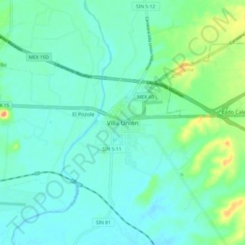
Naam: Topografische kaart Villa Unión, hoogte, reliëf.
Locatie: Villa Unión, Mazatlán, Sinaloa, Mexico (23.14753 -106.25637 23.22753 -106.17637)
Gemiddelde hoogte: 18 m
Minimale hoogte: 5 m
Maximale hoogte: 61 m