
Topografische kaart Dhamani
Interactieve kaart
Klik op de kaart om de hoogte weer te geven.
Over deze kaart
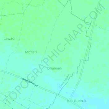
Naam: Topografische kaart Dhamani, hoogte, reliëf.
Locatie: Dhamani, Pauni Taluka, Bhandara District, Maharashtra, India (20.77268 79.74356 20.80514 79.76339)
Gemiddelde hoogte: 233 m
Minimale hoogte: 229 m
Maximale hoogte: 236 m