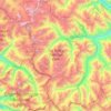
Topografische kaart Kaza
Klik op de kaart om de hoogte weer te geven.
Kaza
Kaza, also spelled Kaze, Karze, Karzey, is a town and the subdivisional headquarters of the remote Spiti Valley in the western Himalayas in the Lahaul and Spiti district of the northern Indian state of Himachal Pradesh. Spiti is a high altitude or cold desert having close similarities to the neighbouring Tibet and Ladakh regions in terms of terrain, climate and the Buddhist culture. Kaza, situated along the Spiti River at an elevation of 3,650 m (11,980 ft) above mean sea level, is the largest township and commercial center of the Spiti valley.
Over deze kaart
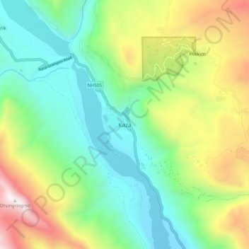
Naam: Topografische kaart Kaza, hoogte, reliëf.
Locatie: Kaza, Spiti, Lahaul and Spiti, Himachal Pradesh, India (32.18438 78.03226 32.26438 78.11226)
Gemiddelde hoogte: 4.161 m
Minimale hoogte: 3.532 m
Maximale hoogte: 5.417 m
Andere topografische kaarten
Klik op een kaart om zijn topografie, zijn hoogte en zijn reliëf te bekijken.