
Topografische kaart Buntzen Lake
Interactieve kaart
Klik op de kaart om de hoogte weer te geven.
Buntzen Lake
Hiking time: 6–8 hours return. Distance: 15 km (9 mi). Elevation gain: 1,020 m (3,350 ft). This is the most popular of the three Halvor Lunden trails. It passes thought ancient mountain forests and has a number of viewpoints from which overlook Vancouver. The trailhead is on Powerhouse Road, near the southeast corner of the South Beach parking area, and takes you up a steep climb of over 700m, passing the Polytrichum Lookout before reaching the "Lake district" which includes several small lakes and the larger Lindsay Lake.
Over deze kaart
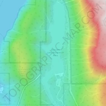
Naam: Topografische kaart Buntzen Lake, hoogte, reliëf.
Gemiddelde hoogte: 348 m
Minimale hoogte: 0 m
Maximale hoogte: 1.158 m